[View 9x enlarged version (817K)]
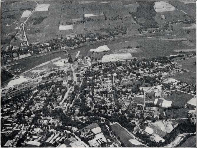
Photo: Canajoharie-Palatine Bridge, Airplane View
Looking east over the Palatine Hills. View shows the Canajoharie Creek, end of the Gorge and Swimming Pool in the lower right hand corner. The West Shore R. R., Mohawk River, New York Central R. R., and Old Mohawk Turnpike are clearly defined. The Stone Arabia Road is seen running north on the upper left hand side of the picture. This is a most interesting view of this important Middle Mohawk Valley town. Photo by courtesy of the Beech-Nut Packing Co., Canajoharie.