This page conforms to the XHTML standard and uses style sheets. If your browser doesn't support these, you may not see the page as designed, but all the text is still accessible to you.

SCHENECTADY DIGITAL HISTORY ARCHIVE

Bringing the heritage of Schenectady County, New York to the world since 1996

You are here: Home » Resources » MVGW Home » Maps » New York Central Railroad

History of the Mohawk Valley: Gateway to the West 1614-1925
Map of the New York Central Railroad

[This information is from Vol. II, p. 1457 of History of the Mohawk Valley: Gateway to the West 1614-1925, edited by Nelson Greene (Chicago: The S. J. Clarke Publishing Company, 1925). It is in the Reference collection of the Schenectady County Public Library at R 974.7 G81h. This online edition includes lists of portraits, maps and illustrations. As noted by Paul Keesler in his article, "The Much Maligned Mr. Greene," some information in this book has been superseded by later research or was provided incorrectly by local sources.]

Contents | Biographies | Illustrations | Maps | Portraits

Go back to: Chapter 100

Map of the New York Central Railroad

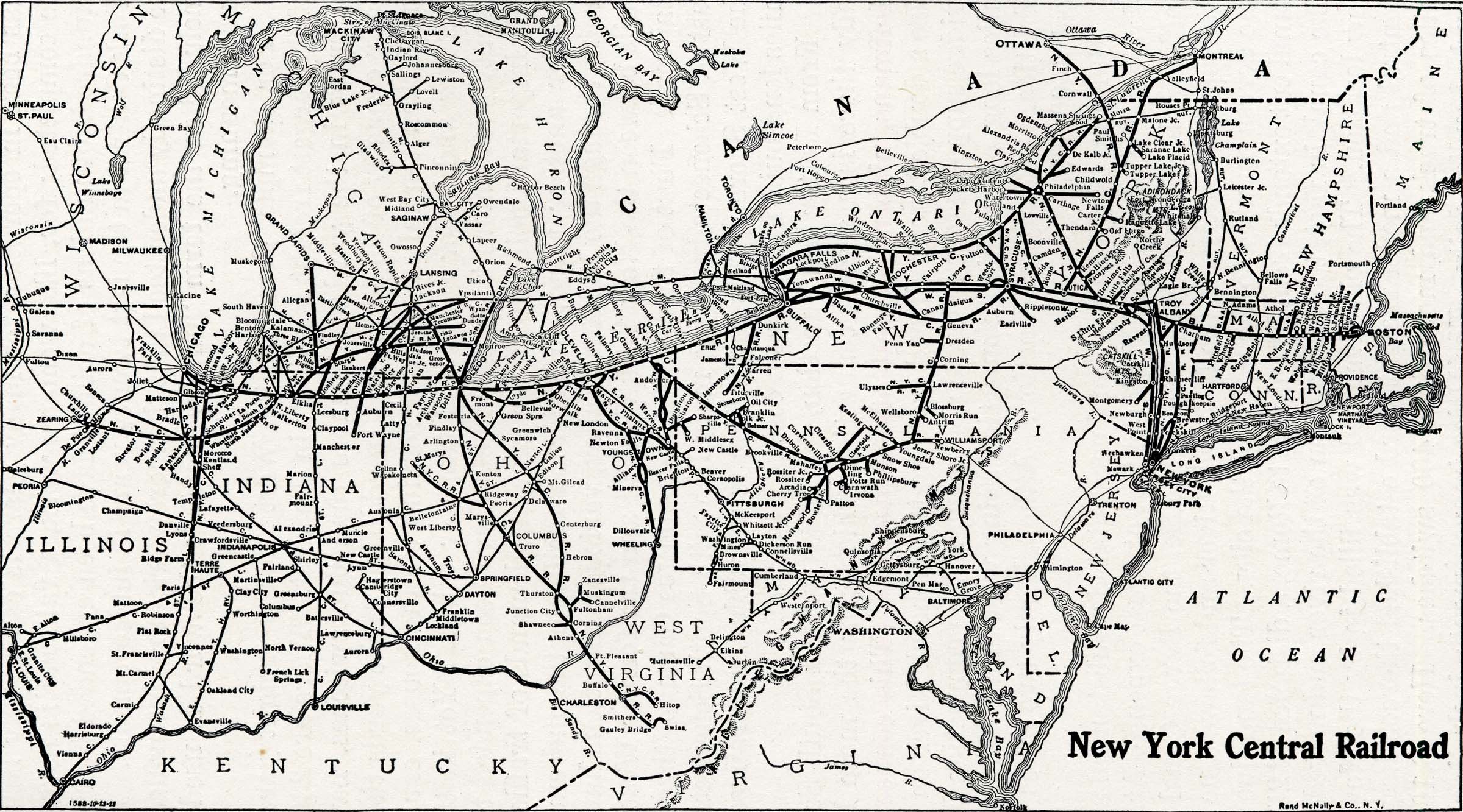
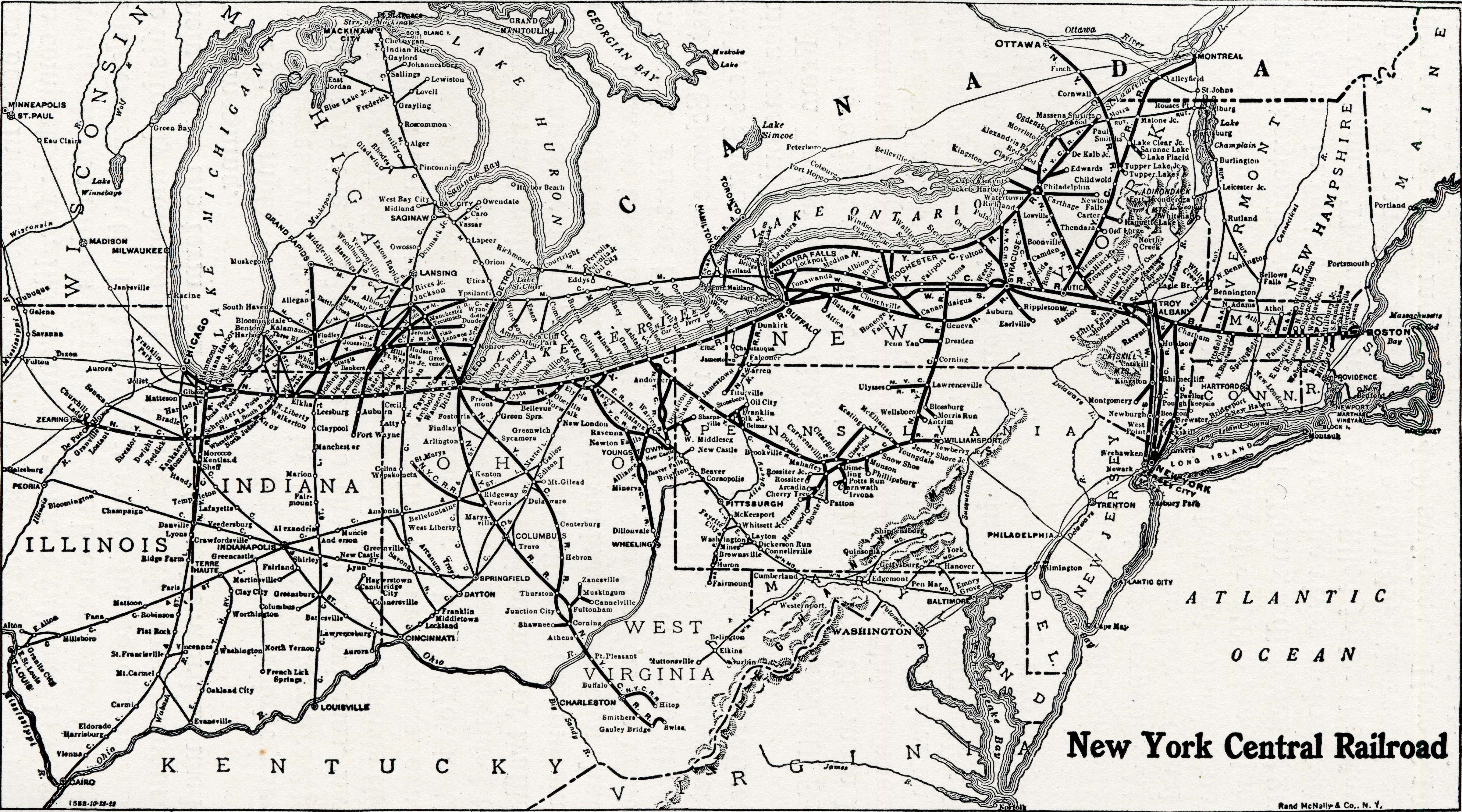
[View 9x enlarged (636K) | 36x enlarged (2005K) version]

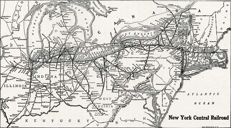
The first steam link of the New York Central Lines was the Mohawk and Hudson Railroad, running from Albany to Schenectady and opened in 1831. The Mohawk & Hudson R. R. of 1831, the Utica and Schenectady R. R., opened in 1836, and the Utica and Schenectady R. R. of 1839, completed the line of the present Mohawk Division, the first of the main line of the New York Central Railroad, the Centennial anniversary of which falls due in 1931. Map published by courtesy of the New York Central Lines.

Go to top of page | back to: Chapter 100

You are here: Home » Resources » MVGW Home » Maps » New York Central Railroad

http://www.schenectadyhistory.org/resources/mvgw/maps/new_york_central_railroad_map.html updated June 10, 2018

Copyright 2018 Schenectady Digital History Archive — a service of the Schenectady County Public Library

Statcounter