This page conforms to the XHTML standard and uses style sheets. If your browser doesn't support these, you may not see the page as designed, but all the text is still accessible to you.

SCHENECTADY DIGITAL HISTORY ARCHIVE

Bringing the heritage of Schenectady County, New York to the world since 1996

You are here: Home » Resources » MVGW Home » Illustrations » Yantapuchaberg

History of the Mohawk Valley: Gateway to the West 1614-1925
Yantapuchaberg

[This information is from Vol. I, p. 27 of History of the Mohawk Valley: Gateway to the West 1614-1925, edited by Nelson Greene (Chicago: The S. J. Clarke Publishing Company, 1925). It is in the Reference collection of the Schenectady County Public Library at R 974.7 G81h. This online edition includes lists of portraits, maps and illustrations. As noted by Paul Keesler in his article, "The Much Maligned Mr. Greene," some information in this book has been superseded by later research or was provided incorrectly by local sources.]

Contents | Biographies | Illustrations | Maps | Portraits

Go back to: Foreword

Yantapuchaberg, 1160 Feet Above Mohawk.

[View 9x enlarged version (86K)]

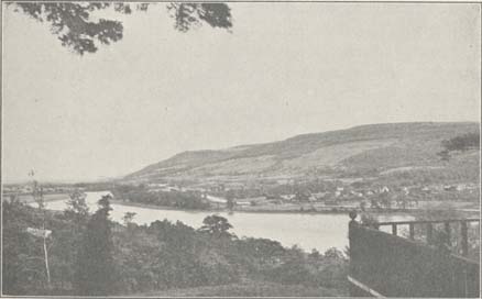
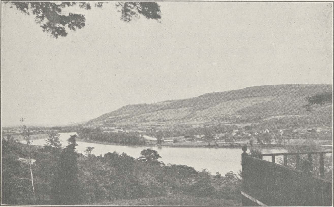
Photo: Yantapuchaberg, 1160 Feet Above Mohawk.

One of the highest Mohawk river mountains from Schenectady to Rome, with 1400 feet sea elevation. Pronunciation is Yantapooshaberg (Holland Dutch for John-ear-of-corn-mountain). Seen from Central Railroad and Turnpike. New York Central freight bridge in left hand distance and Pattersonville opposite. Photo taken from Kinquariones by C. M. Vander Veer, Amsterdam.

Go to top of page | back to: Foreword

You are here: Home » Resources » MVGW Home » Illustrations » Yantapuchaberg

http://www.schenectadyhistory.org/resources/mvgw/images/yantapuchaberg.html updated June 10, 2018

Copyright 2018 Schenectady Digital History Archive — a service of the Schenectady County Public Library

Statcounter