This page conforms to the XHTML standard and uses style sheets. If your browser doesn't support these, you may not see the page as designed, but all the text is still accessible to you.

SCHENECTADY DIGITAL HISTORY ARCHIVE

Bringing the heritage of Schenectady County, New York to the world since 1996

You are here: Home » Resources » MVGW Home » Illustrations » Indian Hill

History of the Mohawk Valley: Gateway to the West 1614-1925
Indian Hill

[This information is from Vol. I, p. 153 of History of the Mohawk Valley: Gateway to the West 1614-1925, edited by Nelson Greene (Chicago: The S. J. Clarke Publishing Company, 1925). It is in the Reference collection of the Schenectady County Public Library at R 974.7 G81h. This online edition includes lists of portraits, maps and illustrations. As noted by Paul Keesler in his article, "The Much Maligned Mr. Greene," some information in this book has been superseded by later research or was provided incorrectly by local sources.]

Contents | Biographies | Illustrations | Maps | Portraits

Go back to: Chapter 6

Indian Hill.

[View 9x enlarged version (173K)]
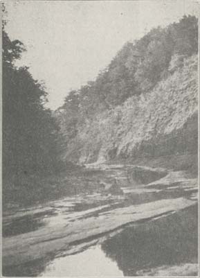
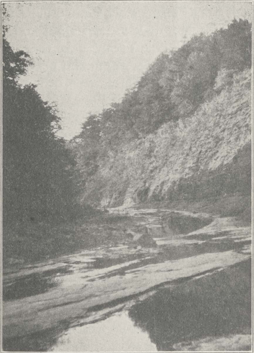
Photo: Indian Hill.

The site of the Mohawk Castle of Ot-stun-go, on the creek of that name, four miles southeast of Fort Plain. The Mohawk town was on top of the slate cliff in one of the most natural defensive sites in the Mohawk Valley.

Go to top of page | back to: Chapter 6

You are here: Home » Resources » MVGW Home » Illustrations » Indian Hill

http://www.schenectadyhistory.org/resources/mvgw/images/indian_hill.html updated June 10, 2018

Copyright 2018 Schenectady Digital History Archive — a service of the Schenectady County Public Library

Statcounter