This page conforms to the XHTML standard and uses style sheets. If your browser doesn't support these, you may not see the page as designed, but all the text is still accessible to you.

SCHENECTADY DIGITAL HISTORY ARCHIVE

Bringing the heritage of Schenectady County, New York to the world since 1996

You are here: Home » Resources » MVGW Home » Illustrations » Great Western Gateway Bridge

History of the Mohawk Valley: Gateway to the West 1614-1925
The Great Western Gateway Bridge

[This information is from Vol. II, p. 1569 of History of the Mohawk Valley: Gateway to the West 1614-1925, edited by Nelson Greene (Chicago: The S. J. Clarke Publishing Company, 1925). It is in the Reference collection of the Schenectady County Public Library at R 974.7 G81h. This online edition includes lists of portraits, maps and illustrations. As noted by Paul Keesler in his article, "The Much Maligned Mr. Greene," some information in this book has been superseded by later research or was provided incorrectly by local sources.]

Contents | Biographies | Illustrations | Maps | Portraits

Go back to: Chapter 110

The Great Western Gateway Bridge

[View 9x enlarged version (143K)]

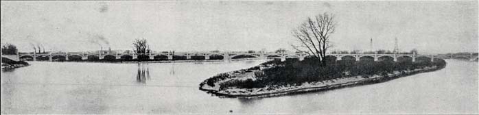
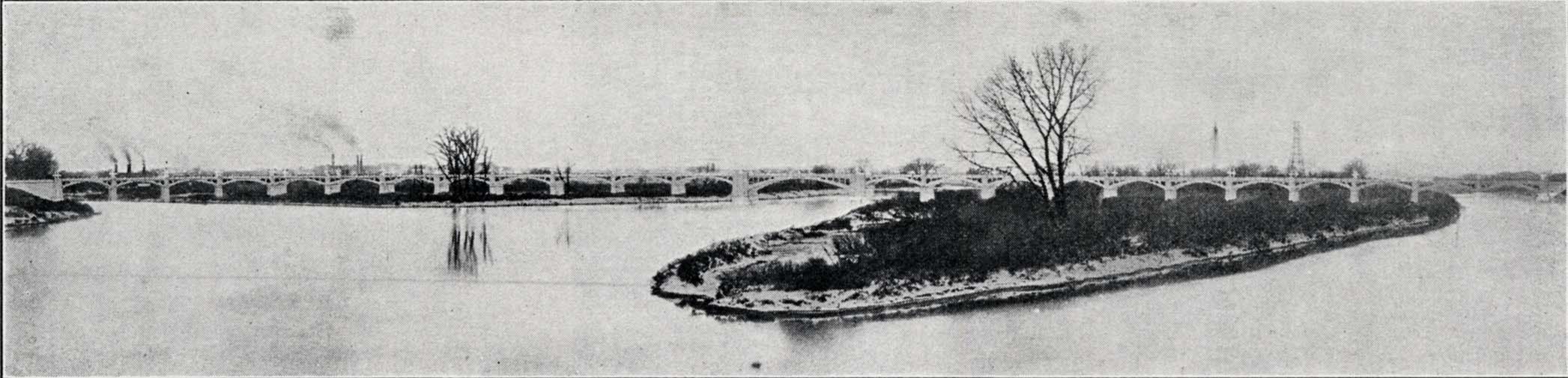
Photo: The Great Western Gateway Bridge

This is one of the longest concrete bridges in America, crossing the Mohawk River, from Schenectady, over Van Slyck and Hog Islands, to Scotia, on the north river shore. It is for foot passengers and to carry the enormous motor car traffic of the Old Mohawk Turnpike, which begins in Scotia at the right-hand end of the bridge in this picture.

(Photo by Courtesy of the Office of the State Engineer and Surveyor).

Go to top of page | back to: Chapter 110

You are here: Home » Resources » MVGW Home » Illustrations » Great Western Gateway Bridge

http://www.schenectadyhistory.org/resources/mvgw/images/great_western_gateway_bridge.html updated June 10, 2018

Copyright 2018 Schenectady Digital History Archive — a service of the Schenectady County Public Library

Statcounter